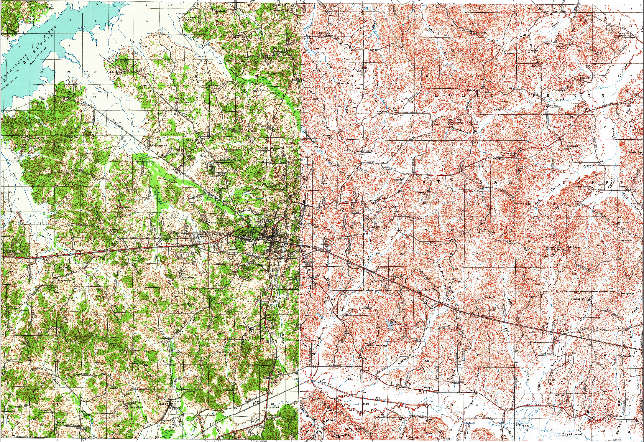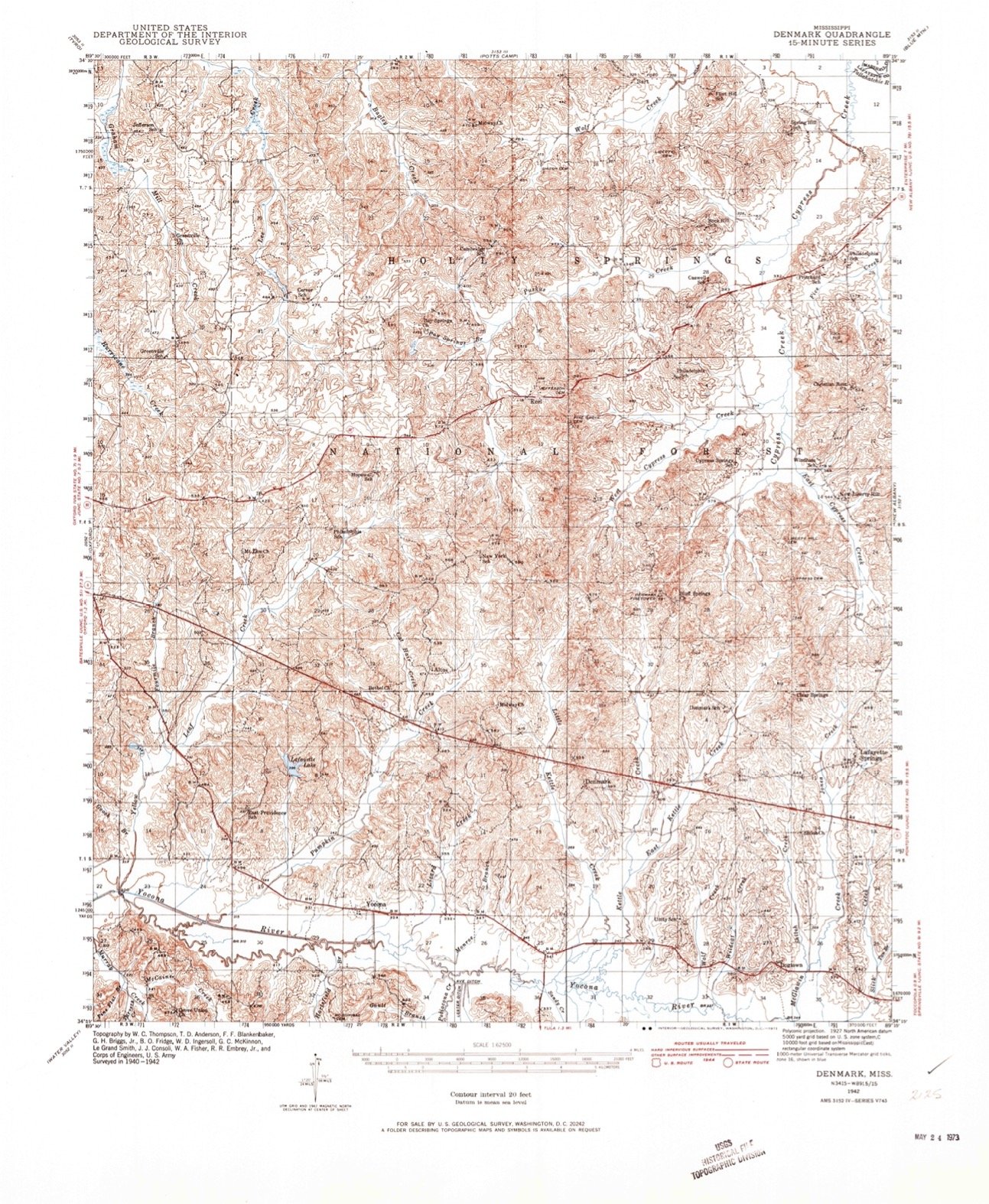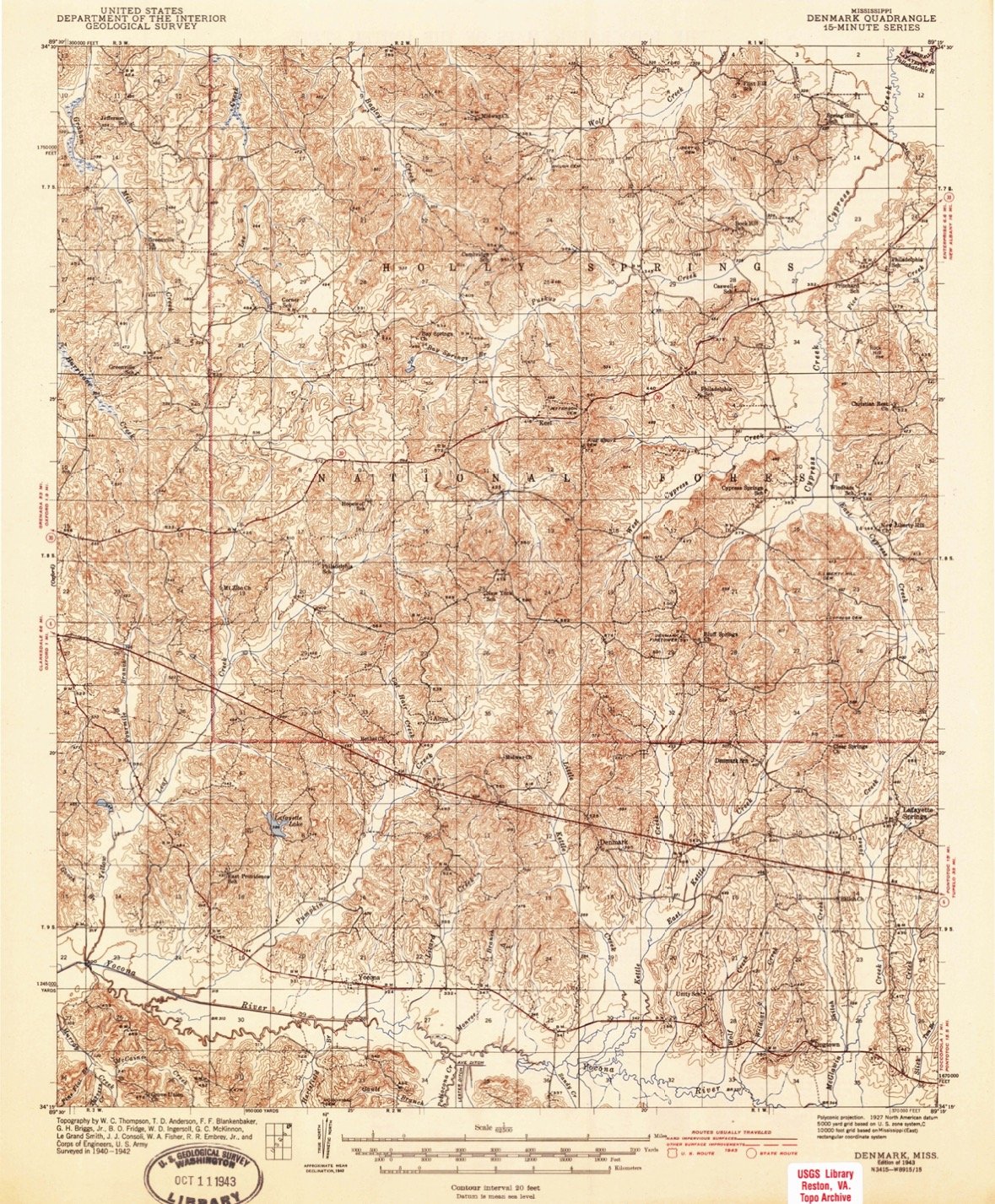
1940s U.S. Geological Surveys
Thee maps were produced by the United States Geological Survey. They depict the natural features as well as the manmade attributes of the land. Natural features include mountains, hills, rivers, streams and types of vegetation. Manmade structures would include railway lines, buildings, utilities, houses, cities, school, roads and highways. Symbols on the maps show details such as civil boundary lines, cemeteries, bridges, reservoirs, bench marks and water features.