Historic Maps Program
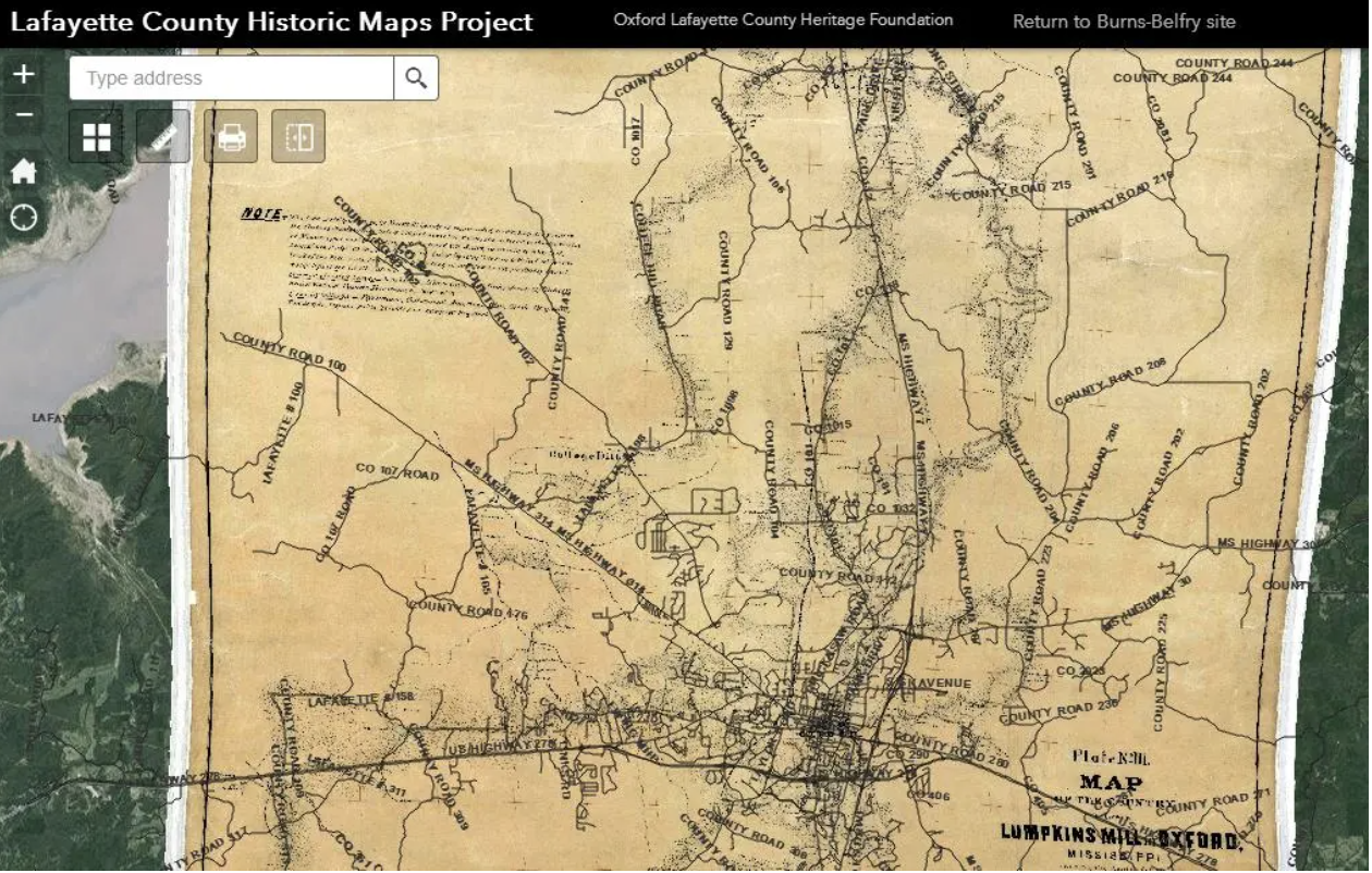
The Museum’s Historic Maps Program involves the digitization, rectification and digital display of historic maps using the online ArcGIS system. The software allows even begining users to overlay our collection of maps with current satellite imagery and view geotagged photos and other items at locations across Lafayette County. We’ve gathered and uploaded maps dating back nearly two centuries.

Our web-based interactive maps platform hosts a collection of historic maps and photographs using satellite imagery and overlays using your choice of our older maps . This function can provide a snapshot of the past, revealing the location of previous businesses, the identity of landowners, and much more. The Museum continues to find additional maps to add to our collection. If you’ve got some ideas of a map we haven’t found yet, please let us know. We’ll work with you to get it into the Museum for all to see.
Purpose of the Maps Program:
Previously, members of the Heritage Foundtion have led efforts to ensure the preservation of historical sites throughout Oxford and Lafayette County for over 30 years. This effort has now expanded to the digital preservation of maps, documents and photographs in the Lafayette County Digital Museum. The Museum’s goal is to provide an evergreen source for the public and institutions alike to be involved with, but also contribute to, furthering the preservation efforts. The maps featured on our site were obtained from numerous sources, including but not limited to:
U.S. Department of Agriculture, Department of Soils
State of Mississippi Geological Survey
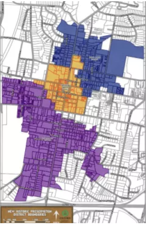
City of Oxford
USGS Topographic
The Library of Congress
Mississippi State Library
Alabama State Library
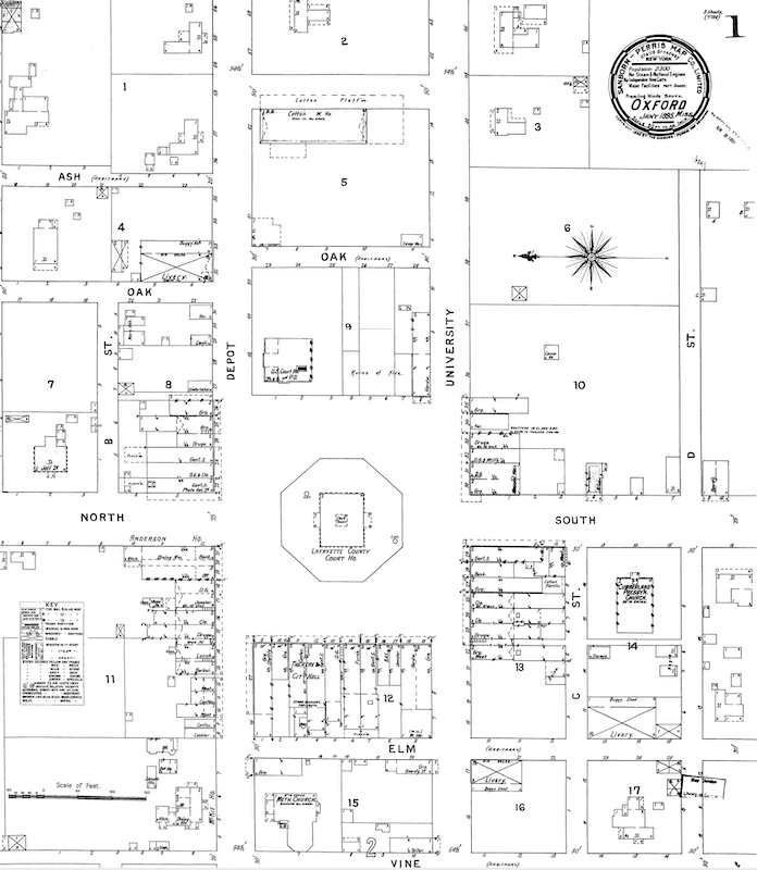
Sanborn Fire Insurance
Civil War
Choctaw Nation
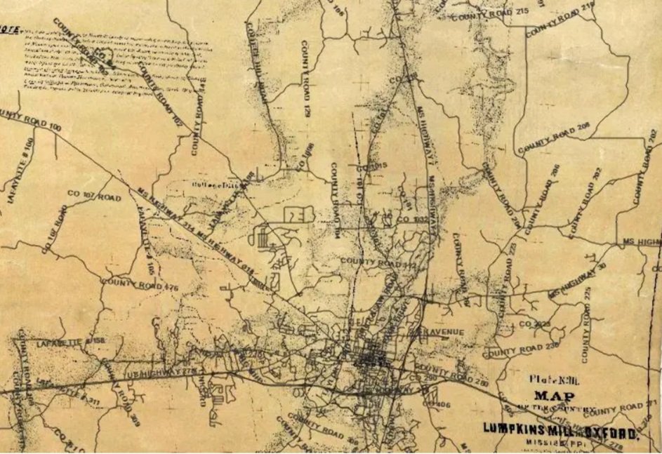
Surveying
Railroads
Learn More About our Historic Maps Collection: