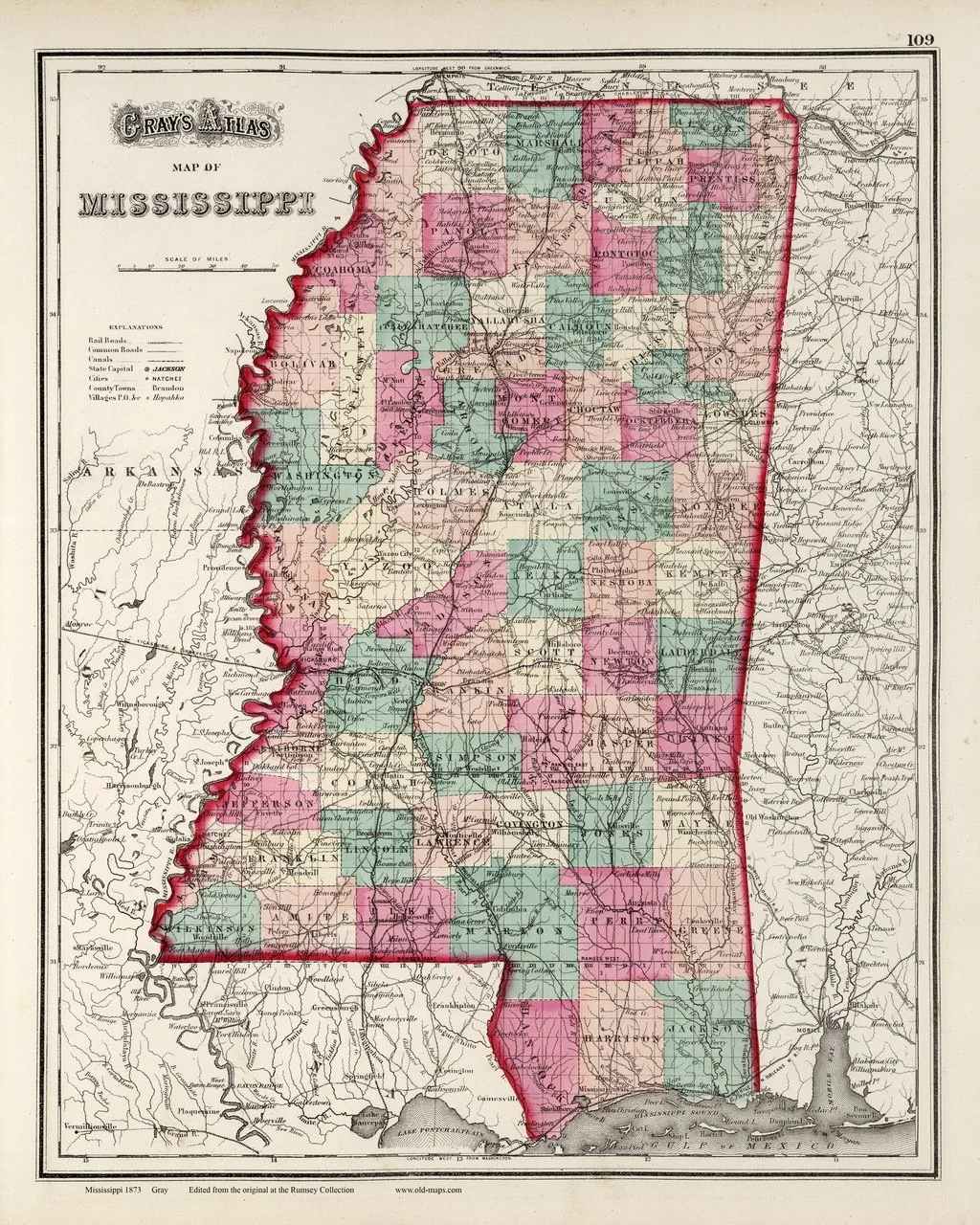
1873 Gray’s Atlas of Mississippi
This map is from the State of Mississippi Map included in Gray’s Atlas of the United States with General maps of the World, by O. W. Gray, a civil and topographical engineer. Oxford, The University of Mississippi, and other communities are shown. The Mississippi Central Railroad, major roads, the Tallahatchie and Yoknapatapha Rivers and larger streams are also included.